


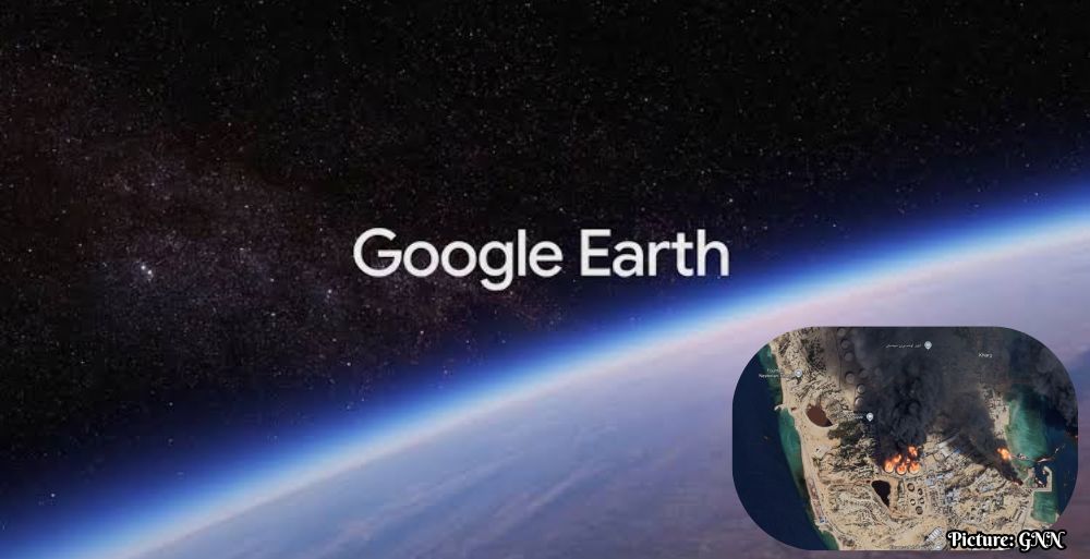
The rapid rollout and subsequent rollback of Google’s AI-generated satellite image feature raises significant concerns regarding the potential for disinformation and the integrity of geospatial data.
On July 30, 2023, Google introduced a new feature on its Google Earth platform that allowed users to create AI-generated satellite images by simply zooming into a specific location and typing what they wished to see. However, within 24 hours of its launch, the company announced the decision to retract this feature, primarily due to concerns raised by researchers and experts in open-source intelligence about the potential for disinformation.
Feature Overview and Immediate Withdrawal
The “create image” tool was integrated with Google’s advanced image-generation technology known as Nano Banana 2. This feature enabled users to generate custom visualizations derived from existing satellite, aerial, and 3D mapping data on the Google Earth platform. Bryan Horowitz, a Google product manager, described the tool as a means to engage users’ creativity. He stated, “Just zoom in to a place in Google Earth on web, tap ‘create image,’ and type whatever you want to see.” However, the innovative functionality quickly garnered criticism.
In a statement following the rollback, Google acknowledged the complex implications of the feature. The company noted, “We know that people uniquely trust Google Earth for a reliable view of the world. We’ve seen geospatial professionals using this feature for a range of useful purposes; however, we’ve also seen people sharing screenshots of generated imagery that appear to violate our policies. So we’re rolling back this feature in Google Earth while we work on implementing stronger guardrails.” Notably, the generated images were not publicly visible within the main Google Earth interface and were marked as AI-generated.
Expert Critiques and Warnings
Experts have raised significant alarms regarding the potential misuse of this feature. Henk van Ess, an open-source researcher, expressed his concerns on social media platform X, sharing that he was able to generate sensitive imagery without any restrictions. He remarked, “I tried refugees at the Mexican border, a nuclear plant in Iran, a crash in Amsterdam, a hospital with a bomb crater in Gaza. Nothing was refused.” His comments highlight the ease with which potentially misleading imagery could be created.
Brady Africk, a research analyst at the American Enterprise Institute specializing in satellite imagery analysis, characterized the Google Earth update as a major risk. Africk stated, “The Google Earth update makes it easier to generate convincing fake satellite imagery that can spread quickly online and mislead the public.” He further emphasized that the proliferation of AI-generated fakes could undermine public trust in satellite imagery, complicating the work of journalists and researchers who rely on accurate geospatial data for reporting and analysis.
Google’s Measures Against Misinformation
In response to the growing backlash, Google reiterated its commitment to combating misinformation. In a follow-up communication to inquiries from various sources, including AFP and Van Ess, the company highlighted that all images produced via the Nano Banana tool are embedded with SynthID digital watermarks. These invisible markers are designed to help users identify AI-generated content. Google asserted, “We take misinformation seriously – every image created with Nano Banana in Google Earth includes the SynthID digital watermark, so if someone is unsure about an image, they can ask the Gemini app or use Lens in Search to see if the image was AI-generated.”
Additionally, the company indicated that it has established safeguards to prevent the generation of images on harmful topics and is actively working to enhance these protective measures.
The Broader Implications for AI and Geospatial Integrity
The swift introduction and subsequent removal of the AI-generated imaging feature underscore the challenges surrounding the integration of artificial intelligence into public-facing platforms. As AI technology continues to evolve, so does the potential for misuse, raising important ethical and practical questions about how to balance innovation with responsibility. This incident reveals the urgent need for robust safeguards as companies like Google explore the capabilities of AI in sensitive areas such as geospatial data.
The potential for AI-generated imagery to enhance user engagement and creativity exists, yet the associated risks—particularly concerning misinformation and public trust—require careful consideration and proactive management. Google’s response to this backlash and its commitment to strengthening safeguards will be critical as the company navigates the complexities posed by its AI initiatives.
Conclusion
In conclusion, while the introduction of AI-generated satellite imagery on Google Earth was intended to inspire user creativity, the rapid retraction of this feature highlights serious concerns about the implications of such technology. The balance between leveraging innovative capabilities and ensuring the integrity of information remains a pressing challenge in the age of artificial intelligence. As technology continues to advance, platforms must prioritize transparency and accountability to maintain public trust.